
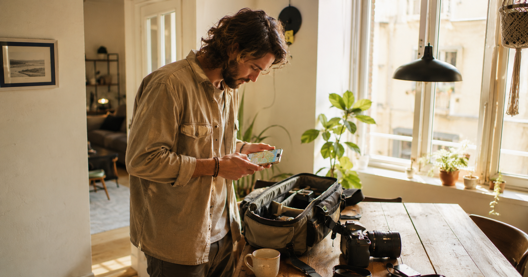
How to plan a photo route across multiple locations
There are days when you just know: I'm heading out. You have a few locations in mind, a charged camera and the urge to shoot. So you open Google Maps, drop some pins and drive. And halfway through the afternoon you're standing somewhere shooting while the sun has nearly disappeared, or you drive past a location because the order was all wrong. I did it that way for years. Not because I hadn't thought about it, but because I treated the planning and the photography as two separate things. The planning was something you knocked out quickly. The photography was the real work. That's not quite right, actually.
The route is part of the image
When you're shooting at multiple locations in a single day, the order is not arbitrary. Light changes throughout the day. A location that has beautiful soft light at 9 in the morning looks completely different at 2 in the afternoon. Not worse, just different. And if you arrive at 2 expecting that morning light, you're going to be disappointed. That sounds obvious when you write it down. But in practice, most photographers plan a route based on distance, not on light. You start somewhere, drive to the nearest point, then the next, and so on. That's efficient for kilometres, but not for photos. I now think first about when I want to shoot. What is golden hour on that day? Which location works for that warm, low light, and which one is better saved for another time? Only then do I look at how to build the route around that.
What I used to do
I've been shooting on the street for years, and for a large part of those years I kept track of my locations in a notebook. Literally. An address here, an intersection there, a small park I'd come across once. Those notes were useful but also a bit chaotic. I didn't always find them again, and half a year later I had no idea why I'd written a place down. Later I switched to a combination of Google Maps and text files. Better, but still not ideal. The locations were disconnected from any context. No golden hour information, no link between places, no way to quickly build a route. What I actually wanted was one overview. A map with my locations, combined with light information, so I could see at a glance: okay, on this day, with this light, this is the logical order.
How I do it now
The route planner on apps.michielheijmans.com does exactly that. You place your locations on the map, link them to golden hour data for your location and date, and see which order makes the most sense. If you've saved locations in your location log before, they're already there. You don't have to enter them again. It sounds simple, but it genuinely helps. Not because the tool does anything magical, but because it forces you to take the planning seriously. You see in one go how much time sits between locations, when the light shifts and whether the route you had in mind actually holds up. What I notice myself: I rarely arrive somewhere at the wrong moment anymore. Not because I've become a better photographer, but because I leave better prepared.
A practical example
Last year I was in Antwerp for a day of street photography. I had four locations in mind: the Eilandje, the Handelsbeurs, the Nationalestraat and the neighbourhood around Centraal Station. Four very different places, with very different light. If I had driven purely based on distance, I probably would have started at the station, since that's where I arrived. But the station works best in the late afternoon light, when the sun is low and the facades of that enormous hall turn warm. The Eilandje is better in the morning, when the water mirrors the sky and there's still nobody around. By planning those two things in advance, I got far more out of both locations than if I had just driven there. It's not about perfection. A day of shooting never goes exactly as planned. People get in the way, light falls differently than expected, you're standing somewhere and think: this isn't working, I'm going somewhere else. That's part of it. But when your basic planning is solid, you have room for those detours. You're not forced to improvise because you planned the wrong location at the wrong time.
What it doesn't solve
A good route is no guarantee of good photos. I'm adding that deliberately, because I notice that photographers sometimes invest so much time in preparation that the actual shooting suffers a little. The planning is a means, not an end. I've visited locations that looked perfect on paper and made nothing worth keeping. And I've stumbled across locations with zero preparation and made my best photos of the year in twenty minutes. Planning increases the chance that you're in the right place at the right time. Nothing more. The rest is looking.
Try it yourself
You can find the route planner here. Free to use. If you want to save routes and find them again later, you'll need a premium account, but for a first photo route you don't need that. Plan your route, check golden hour, and then just go. The best preparation always ends with the camera in your hand.